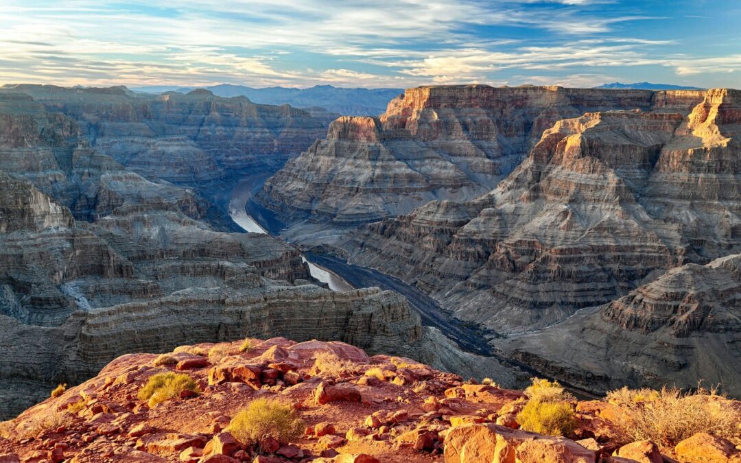
by admin1 | Friday, April 18, 2025 |
The design team’s primary objective was to prepare planning documents that would provide the vendor with a feasibility study for adding amenities to improve the experience for RV campers and visitors in general. The project required design and site selection for: camp store and café, indoor pool and recreation center, additional parking, playground, gathering point, dog park; and wayfinding for vehicular visitors, cyclists, and pedestrians.
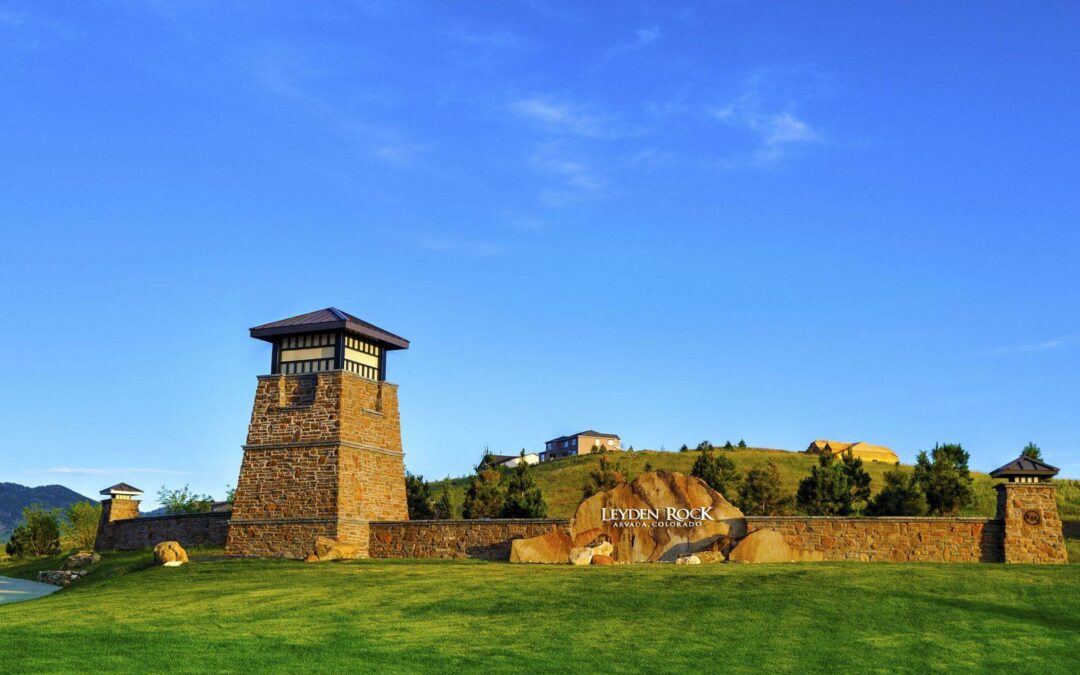
by admin1 | Monday, March 31, 2025 |
Density— Low impact neighborhood design reduces the overall development footprint and increases open space preservation. The result achieves more than twice the density of traditional, low density residential development, while preserving three times as much open space.
Community — Open space locations benefit community residents, adjoining developments and public spaces.
Ecology — Open space is consolidated into larger swaths (minimizing fragmentation and edge effects) to preserve plants and wildlife habitat and reduce maintenance inputs.
History — Preserving the native landscape maintains the rustic appeal and view corridor along Leyden Road.
>Culture — Neighborhood parks create social focal points and centers for activity.
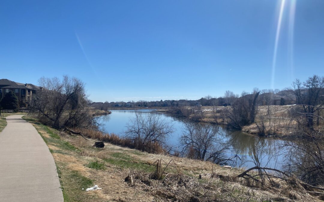
by admin1 | Monday, March 31, 2025 |
THK Associates, Inc., in partnership with HR Green and CDR Associates, provided a comprehensive approach to address the City’s trail system analysis and recommendations. The team conducted thorough research, collaborated closely with city staff, and engaged with the public through various methods throughout the project.

by dvmosomy | Friday, December 20, 2024 |
The River South Greenway Master Plan provided a vision for four distinct planning areas along the South Platte River; south to north between W. Dartmouth Avenue (the southern Denver city limit) to 20th Street and east to west from Broadway to Federal Boulevard. This plan was developed through partnerships with The Greenway Foundation, Colorado Conservation Board, Urban Drainage and Flood Control District, The City and County of Denver Parks and Recreation and Public Works and Denver Water. The implementation of this plan will help create and improve parks, open space and related amenities that meet user need and provide guidance for future development as the City and County of Denver’s population increases. The River South Master Plan helps ensure that Denver can strategically plan for an interconnected, well planned and visually attractive River frontage.
by dvmosomy | Friday, December 20, 2024 |
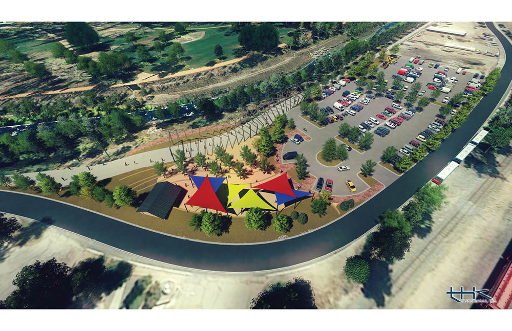
THK Associates was retained to develop conceptual design ideas for a major segment of the Legacy Loop Trail from Mesa Road north along Monument Creek to the Rock Island Rail Line and then east to Shook’s Run. The conceptual design was completed for inclusion in a Spring 2015 Great Outdoors Colorado (GOCO) grant application.
The work included creek access to Monument Creek within the Work Projects Administration (WPA) flood wall at both Mesa Road and Uintah Street. The goal was to activate the creek area by creating access down to the creek in several key locations adjacent to Colorado College.
Additionally, a trailhead was developed at Fontenaro Street and Monument Creek with a new pedestrian bridge across a tributary to Monument Creek. The trail alignment along Monument Creek and the Rail Line was established as a part of the conceptual design effort. All concepts were communicated with perspective sketches and 3-D renderings.