by dvmosomy | Tuesday, August 26, 2025 |
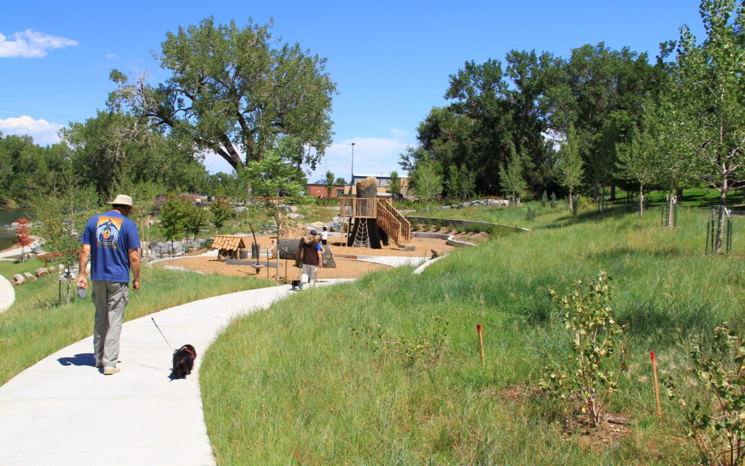
Grant Frontier Park is currently under construction and is expected to be completed Winter 2016. As part of the implementation of the South Platte River Vision, THK was contracted by the City and County of Denver to develop the conceptual design, construction documents and conduct final construction administration for Grant Frontier Park.
The location of Grant Frontier Park was one of the first places gold was discovered in the Platte around the City of Denver. This deep connection to the river had been forgotten when the river was channelized during the 20th century. The banks of the river were raised eliminating any opportunity for easy river access.
THK took into account the areas historic character, community input and environmental need to design a Park that uses functional forms to tell the story of the place and create a vision for its future. A formal plaza and picnic area radiates out from a two hundred year old cottonwood tree that will provide shade and historical context for the educational workshops that will be conducted there. Cascading down from the plaza an arching staircase flows past a perennial rock garden and boulder terraces that mark the five, ten and one hundred year flood level before arriving at the secondary channel. This channel separates the main Park from an island built into the river and provides individuals a safe environment for interaction with the river and an active play area along its banks. All access to the river and island will be ADA compliant allowing all members of the City to enjoy their Park.

by admin1 | Tuesday, August 26, 2025 |
Alvarado Open Space Park Client Location Services Related Projects Pasquinel’s Landing Park Pasquinel’s Landing Park is now one of the key nodes of activity for the Overland Park Neighborhood along the South Platte River. By working with the Greenway Foundation...

by admin1 | Monday, June 2, 2025 |
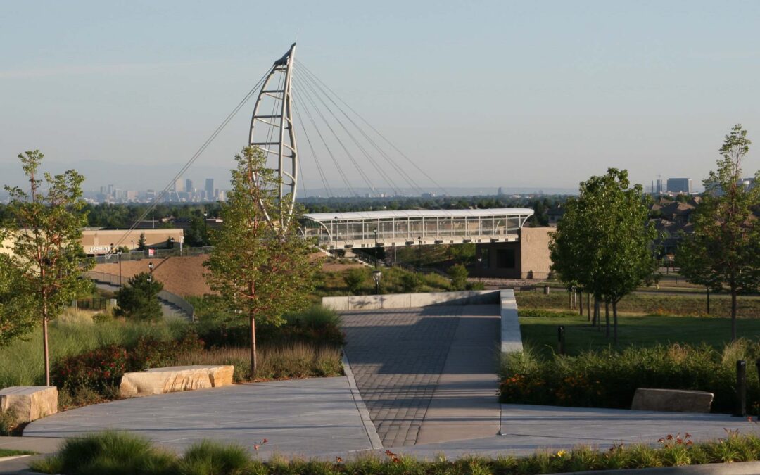
This memorial at Lincoln Commons Park is dedicated to Donald W. Bounds who was involved with the development of Ridgegate from the beginning. Mr. Bounds practiced law with a passion for Civil Rights and justice. The design includes a memorial quote sandblasted into a concrete seat wall and a small bronze plaque describing the life of Donald and why his life made a difference to so many. The design includes a paved “pier”’ lined with ornamental flowering trees that leads to a scenic overlook with views over the park to downtown Denver.

by dvmosomy | Monday, May 5, 2025 |
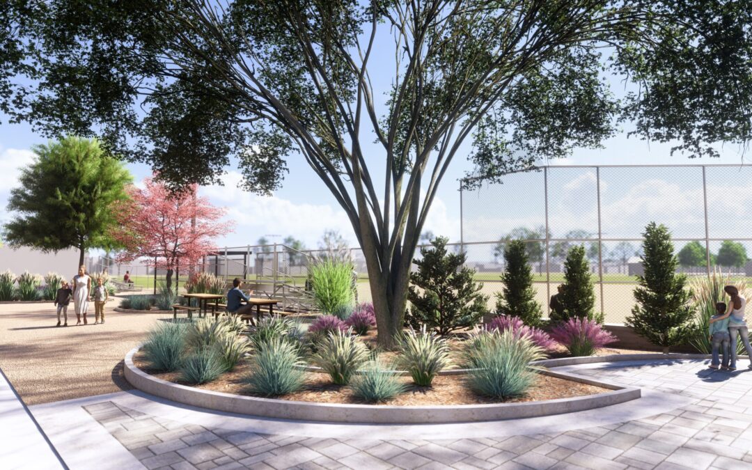
Citizen’s Park is a 6.2-acre community park with streetscape and ballfield located between 24th and 22nd Avenues in Edgewater, Colorado. The park provides leisure and recreation opportunities to many of the surrounding residential communities and adjacent Edgewater Elementary School.
THK renovated the pedestrian streetscape area adjacent to W. 24th Avenue, near a prominent on-site sculpture installation. The design improves the condition of the streetscape including pavers, plantings and integration between the pedestrian zone and the recreational zone. Additionally, THK was tasked with developing a design for new improvements to the baseball field (dugouts, backstop fencing, bleacher areas, walking paths, etc.) as well as refreshing the playing surface of the field. Improvements focused on a revitalized user experience, adding new planting areas for both trees and native species, updated seating, new backstop fencing, new dugouts, and a new arrival plaza.
Many of the design choices resulted from direct feedback from the surrounding community via a design showcase open house facilitated by THK, during which residents completed surveys and residents had an opportunity to offer their input and ideas for what the new streetscape and park should be. They overwhelmingly desired the use of native materials and plants, and maintenance of the existing memorial dedications.
The first phase of construction for the new and improved Citizen’s Park was completed in summer 2024.

by admin1 | Friday, April 18, 2025 |
The recently completed Larry L. Levin Park at RidgeGate is already creating memorable connections for the surrounding high density, multi-use, multi-family transit oriented developments. Connectivity is the overriding design intent of Larry L. Levin Park. A variety of mobility options will be supported with vehicular and bicycle parking, ample pedestrian access, and multiple transit options that serve the surrounding area. With a variety of recreation opportunities for all ages, the park provides surrounding businesses, residences, and commuters with a meeting place for recreation, play, and conversation. Street furnishing and plantings are used to create an inviting sense of community in a pedestrian scaled environment for visitors using the RidgeGate Light Rail Station and the surrounding area.
The landscaping has been arranged for clear lines of site, access, and openness with prominent lighting in all areas to promote a sense of safety and wellbeing at any time of day or night. The surrounding businesses and residences provide eyes-on-the street and the sense of a safe community.
Environmental and maintenance design considerations have been implemented throughout the site. Drought, salt, and pet tolerant plantings have been selected for the streetscape and interior planting beds to reduce water usage and increase viability. The lawn area is a drought tolerant fescue blend with reduced water needs that can better handle typical Colorado seasonal changes. The dog park ground coating is pea gravel to reduce material replenishment needs and allow for rinsing as needed. Shade structures are constructed of nonorganic materials to promote longevity. The playground has natural form stone faux finished features to encourage play and connect users to features not typically found in urban areas. The combination of these design elements creates a space that will stand the test of time and trends.


