by dvmosomy | Friday, April 18, 2025 |
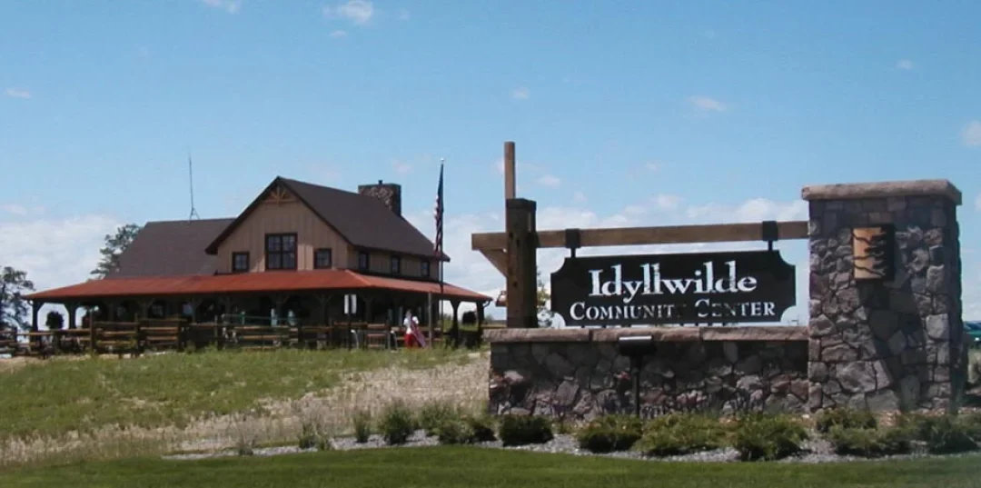
Idyllwilde is located in the hills of Parker’s east side. The rolling hills of the landscape offer great views of Pikes Peak and Rampart Range to the south or DTC, downtown and the front range mountains to the west and north. Idyllwilde is designed with a western theme, featuring western style split rail fences and a windmill atop the hill beyond the barn-style clubhouse. The rich, warm color palette of the homes in the community, add to the cozy country feel.
by dvmosomy | Friday, April 18, 2025 |
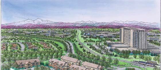
High Point is an 1,800-acre mixed-use, master-planned community adjacent to Denver International Airport, in both Aurora and Denver, Colorado. The community will include over 12 million square feet of commercial space and 3,000 residential units. Craig Karn has directed the master plan design for High Point since its inception in 2004. His team continues to coordinate with prospective builders and commercial developers, overseeing master plan and detailed development plan design, and individual neighborhoods and open space design.
The team has also collaborated with the on overall master plan refinements and developments like the Gaylord Hotel. The West End, a mixed-use neighborhood at Tower Road and 64th Avenue, thoughtfully integrates multi-family and single-family residential homes with retail, restaurants, live/work units, hotels and professional offices in this dynamic setting.
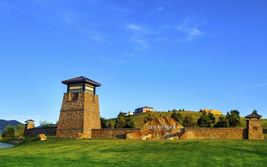
by admin1 | Monday, March 31, 2025 |
Density— Low impact neighborhood design reduces the overall development footprint and increases open space preservation. The result achieves more than twice the density of traditional, low density residential development, while preserving three times as much open space.
Community — Open space locations benefit community residents, adjoining developments and public spaces.
Ecology — Open space is consolidated into larger swaths (minimizing fragmentation and edge effects) to preserve plants and wildlife habitat and reduce maintenance inputs.
History — Preserving the native landscape maintains the rustic appeal and view corridor along Leyden Road.
>Culture — Neighborhood parks create social focal points and centers for activity.