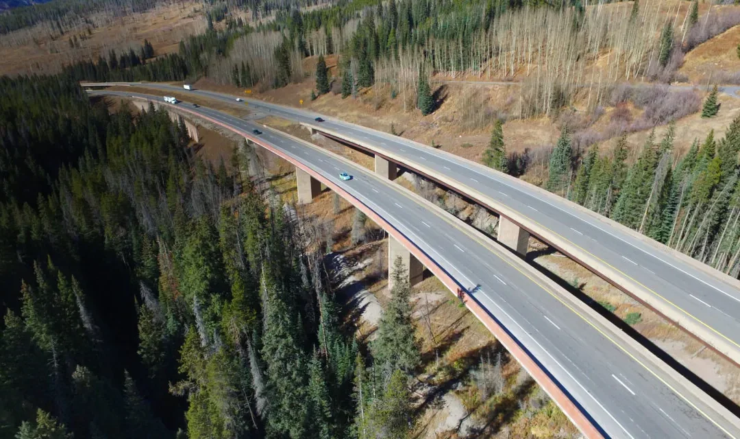
I-70 Mountain Corridor Aesthetic Guidance and Context Sensitive Solutions
I-70 Mountain Corridor Aesthetic Guidance: THK defined the design vocabulary for all improvements along the I-70 Mountain Corridor in the Aesthetic Guidance. The document defines a vision for the corridor as a whole and creates a tool box of design solutions for use in specific areas to achieve the overall vision
The aesthetic guidelines address four Design Segments along the corridor including the Front Range Foothills, Mountain Mineral Belt, Crest of the Rockies and Western Slope Canyons and Valleys. Because of this, an extensive public involvement process was used and unique graphics were created to aid in public understanding.
In 2015, the Guidelines were updated to reflect lessons learned after utilizing the document on several projects.
The I-70 Mountain Corridor Aesthetic Guidance is being successfully used on Twin Tunnels Expansion and Old Game Check Station Trailhead and Peak Period Shoulder Lane Expansion.
I-70 Mountain Corridor Context Sensitive Solutions (CSS): THK also assisted in defining the Context Sensitive Solutions (CSS), adopted by CDOT in 2004, to assist designers and CDOT to preserve, protect and enhance the I-70 Mountain Corridor for all future planning, designing and construction in the corridor.
An extensive public involvement process including input from residents, businesses, stakeholders, municipal and county staff, CDOT, and State and Federal agencies was used and unique graphics were created so the public could understand a very complex visual environment. The initial effort emphasized the Visual Context of the corridor. A Functional Context plan was then developed to help the public understand how I-70 functions with respect to land use patterns, cultural resources and recreational uses.
In 2014, THK assisted Clear Creek County (CCC) to define the CSS process for the I-70 Mountain Corridor within the CCC by facilitating the Clear Creek County Vision for the I-70 Mountain Corridor Workshop.
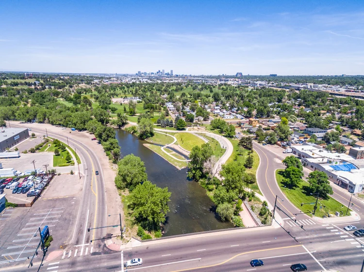
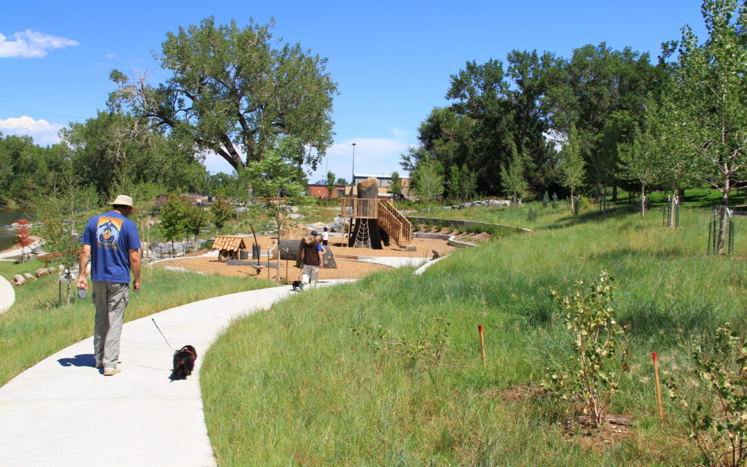
Pasquinel’s Landing Park
Pasquinel’s Landing Park is now one of the key nodes of activity for the Overland Park Neighborhood along the South Platte River. By working with the Greenway Foundation and the City and County of Denver, THK has made the river accessible to the people of Denver allowing them to embrace this vital resource.
THK was responsible for taking this vision through the public process, conceptual design, construction documentation and final construction.
The park brings individuals down to rivers edge where an island has been created to encourage river access and environmental learning in a safe secondary channel. A pedestrian loop trail runs throughout the entire park providing access to the island and framing the great lawn before culminating at a new adult fitness area along the South Platte Regional Trail.
The goals for this project were to create increased river access, promote outdoor environmental learning, produce active public spaces and incorporate unique fitness opportunities, all while increasing circulation and regional connectivity along the South Platte River.
Grant Frontier Park
Grant Frontier Park is currently under construction and is expected to be completed Winter 2016. As part of the implementation of the South Platte River Vision, THK was contracted by the City and County of Denver to develop the conceptual design, construction documents and conduct final construction administration for Grant Frontier Park.
The location of Grant Frontier Park was one of the first places gold was discovered in the Platte around the City of Denver. This deep connection to the river had been forgotten when the river was channelized during the 20th century. The banks of the river were raised eliminating any opportunity for easy river access.
THK took into account the areas historic character, community input and environmental need to design a Park that uses functional forms to tell the story of the place and create a vision for its future. A formal plaza and picnic area radiates out from a two hundred year old cottonwood tree that will provide shade and historical context for the educational workshops that will be conducted there. Cascading down from the plaza an arching staircase flows past a perennial rock garden and boulder terraces that mark the five, ten and one hundred year flood level before arriving at the secondary channel. This channel separates the main Park from an island built into the river and provides individuals a safe environment for interaction with the river and an active play area along its banks. All access to the river and island will be ADA compliant allowing all members of the City to enjoy their Park.
