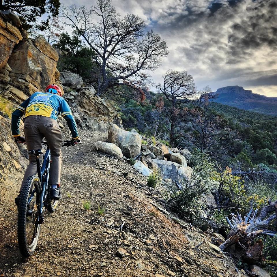
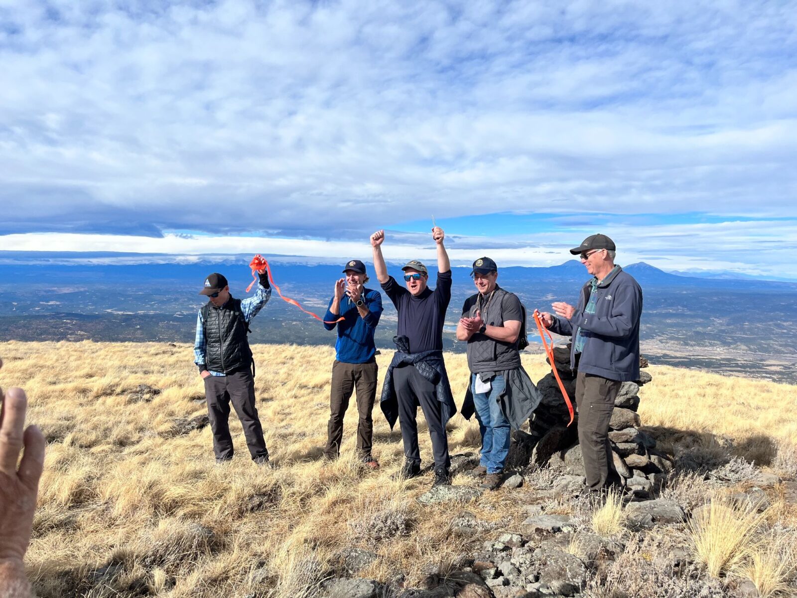
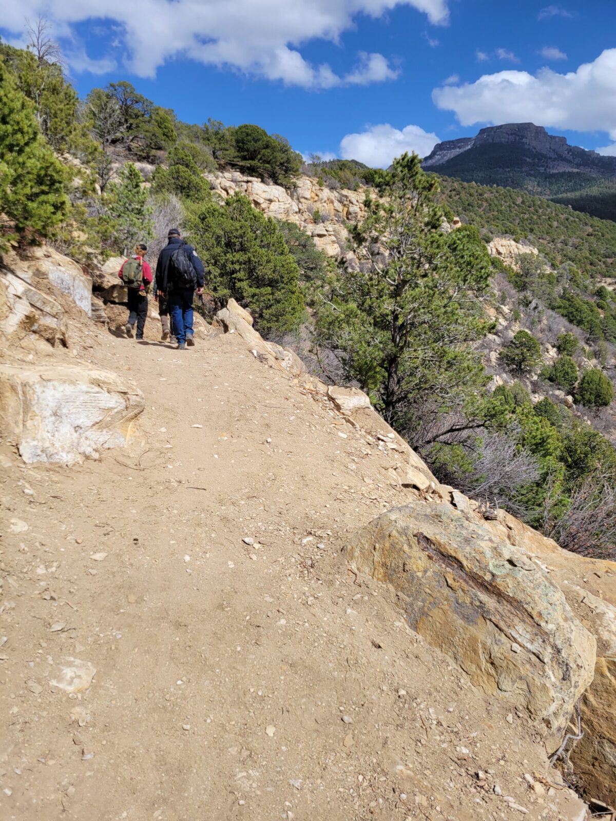
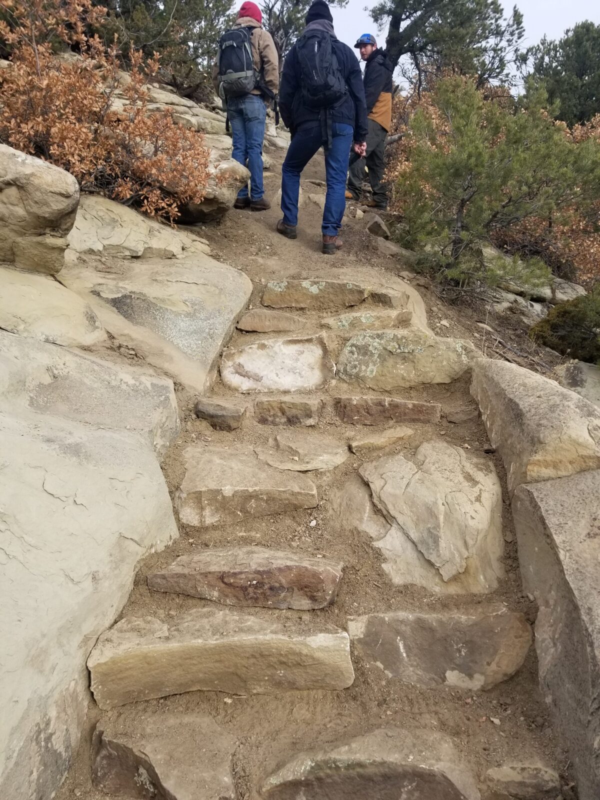
Fishers Peak State Park
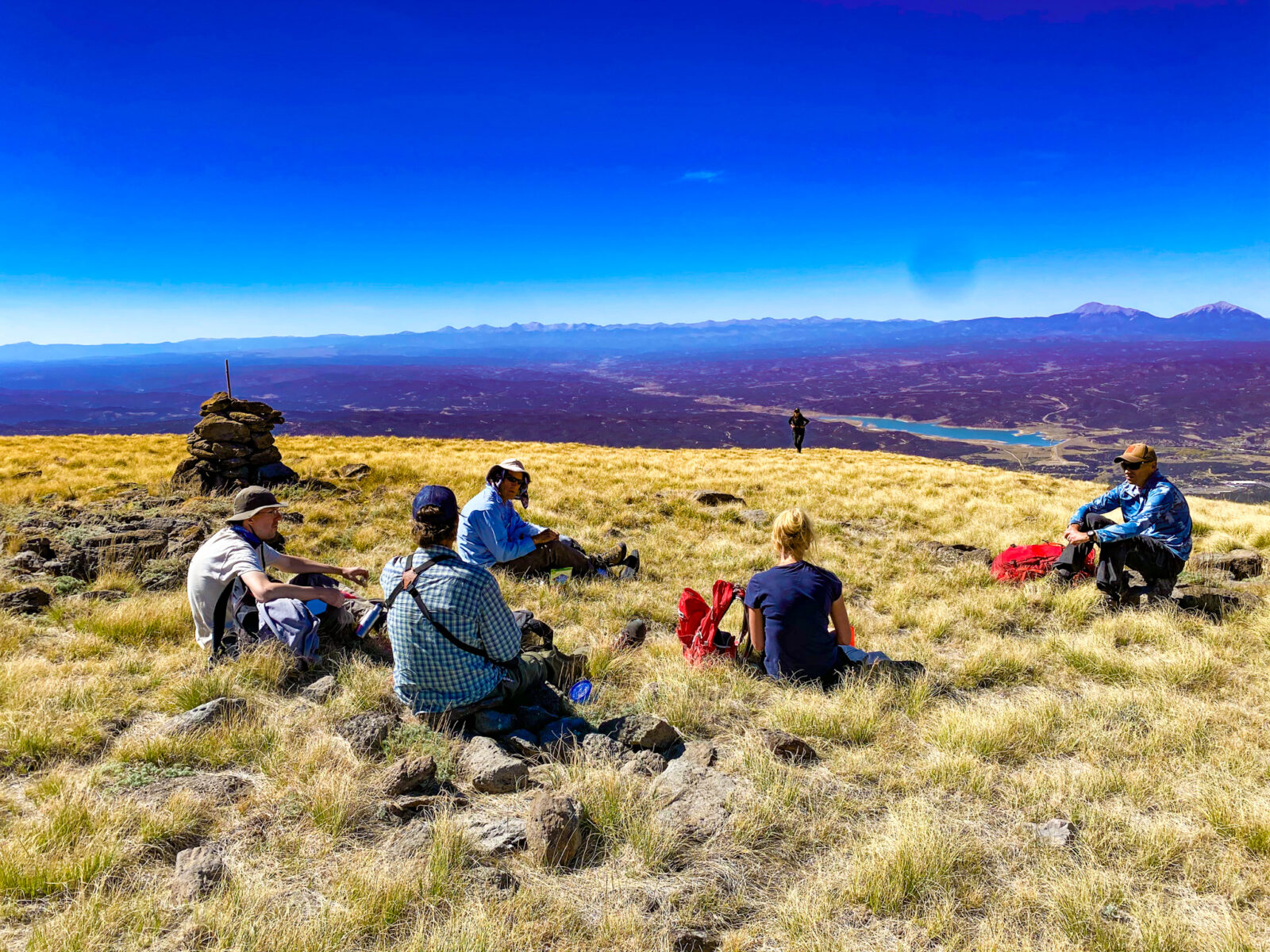
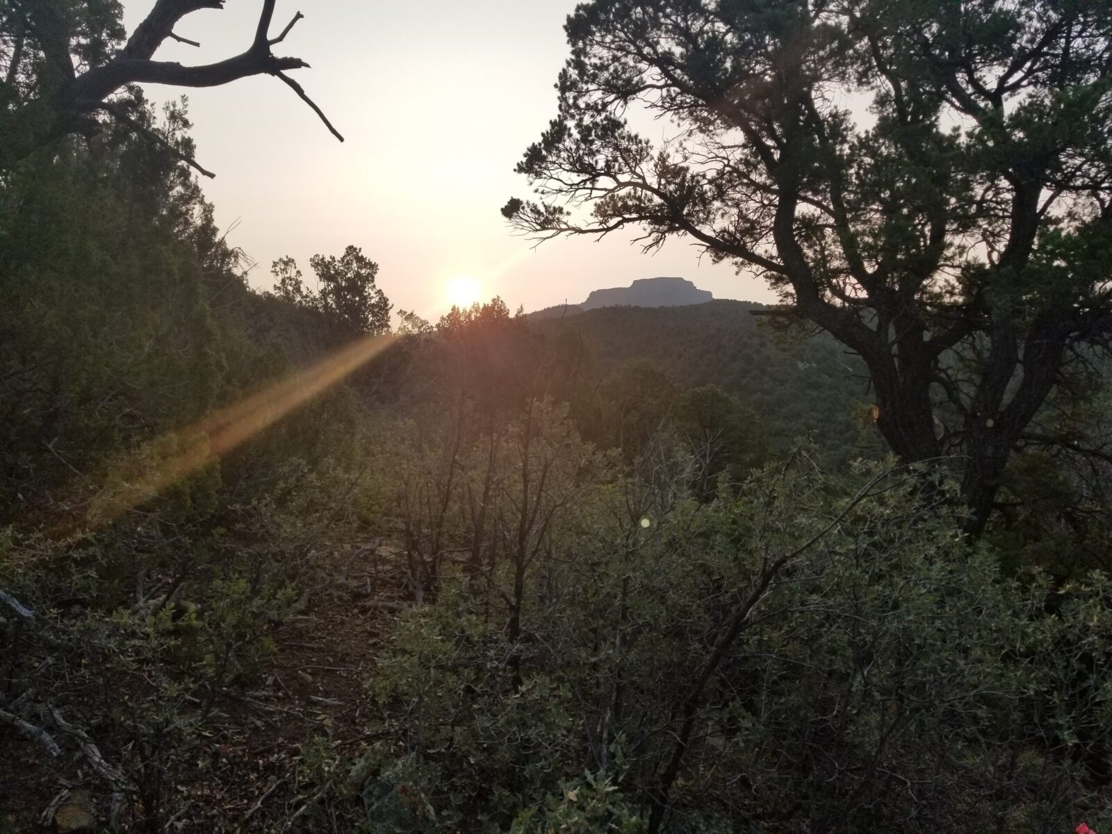
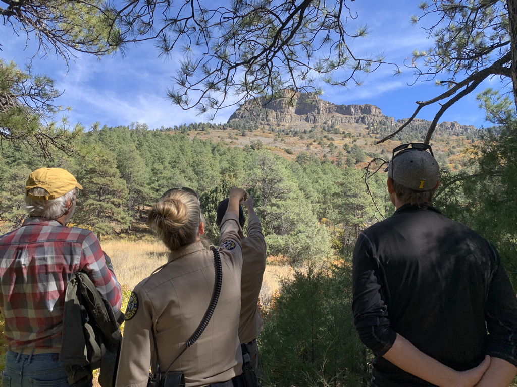
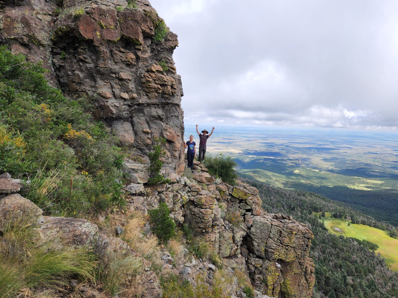
Fishers Peak, standing at an elevation of 9,633 feet, is an iconic landmark in southern Colorado, serving as a majestic backdrop to the City of Trinidad. In September 2019, the vast 19,200-acre expanse known as the Crazy French Ranch was transformed into Fishers Peak State Park (FPSP), marking Colorado’s 42nd State Park. This ambitious endeavor was made possible through a collaborative effort involving key partners, including Colorado Parks and Wildlife (CPW), The Nature Conservancy, Trust for Public Land, Great Outdoors Colorado (GOCO), and the City of Trinidad. Right from the outset, the project was guided by two fundamental pillars:
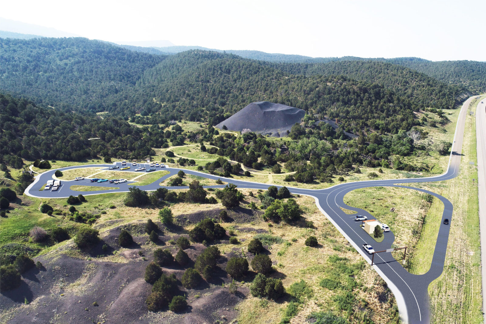
The Fishers Peak State Park Master Plan, meticulously crafted by THK Associates, Inc. and ERO Resources, serves as a comprehensive blueprint for infrastructure development. It outlines the envisioned future state of the park and aids in determining its long-term physical development. The Master Plan was developed through a collaborative and interactive process, informed by both scientific expertise and the sentiments of the public. Engaging over 300 stakeholders, including local Native American Tribes, the plan adeptly strikes a balance between the imperative of safeguarding the park and the opportunity for meaningful human access and recreational activities.
Furthermore, the Master Plan establishes overarching management objectives and strategies. It identifies various management zones within the park, each tailored to the existing natural resource conditions. These zones range from enhancing and managing development areas to conserving and preserving the park’s natural resources. The Master Plan envisions a diverse range of uses, encompassing recreational activities, wildlife and habitat conservation, the protection of natural resources, trailheads, parking facilities, and the creation of a visitor’s center.
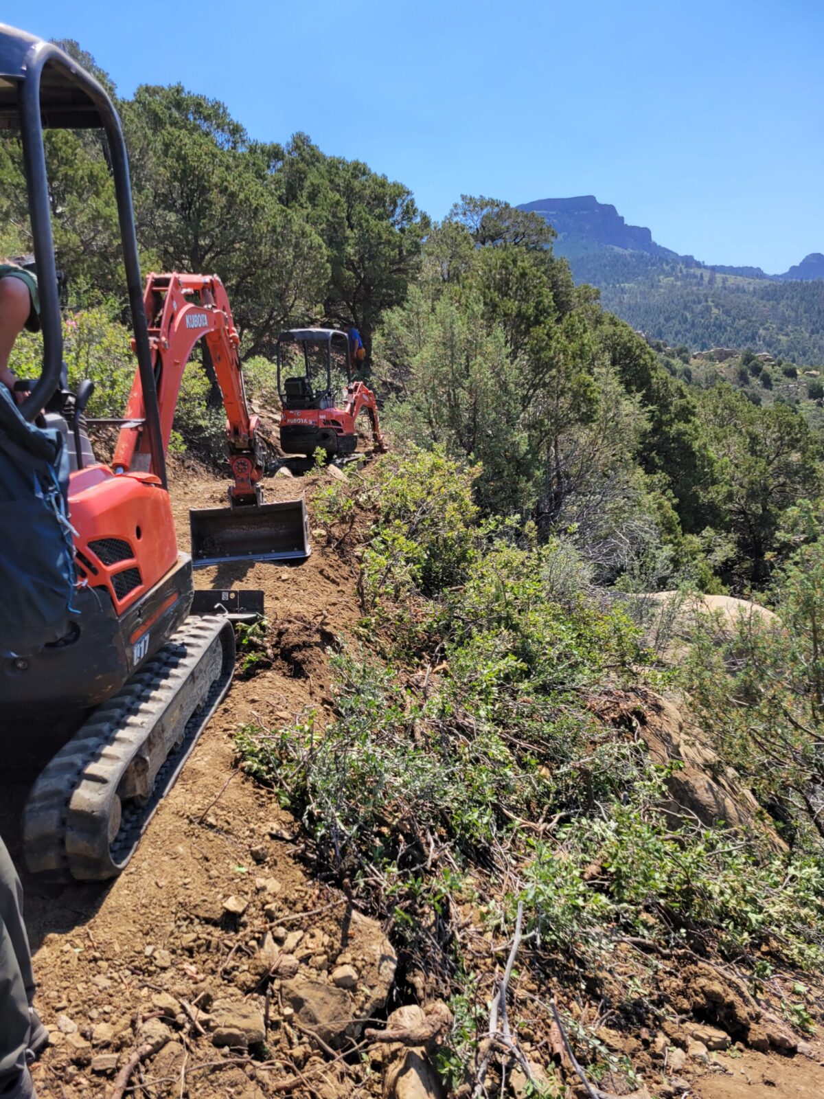
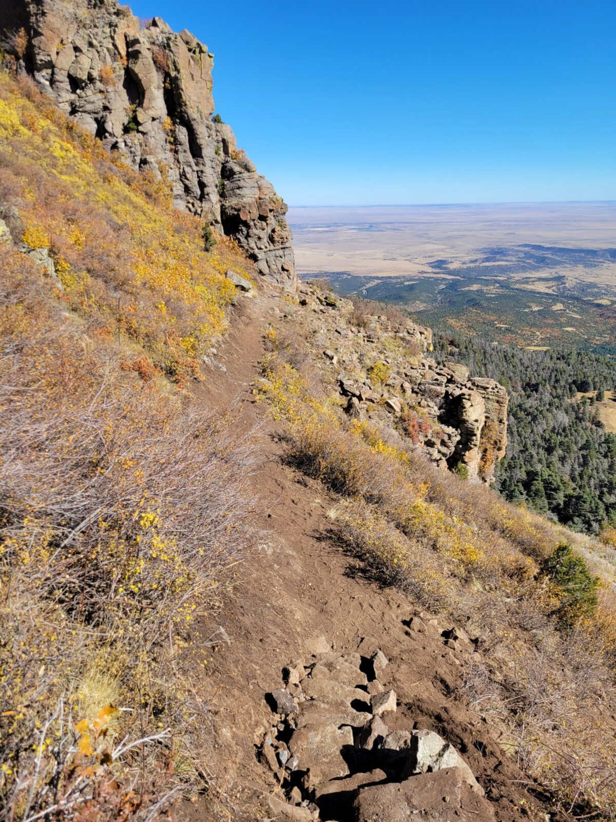
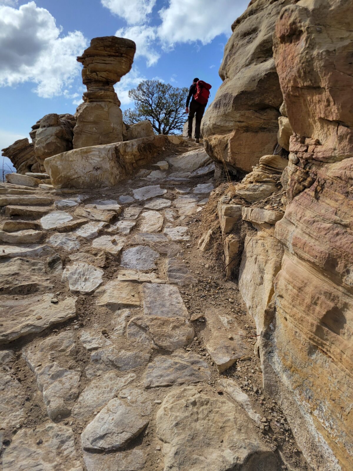
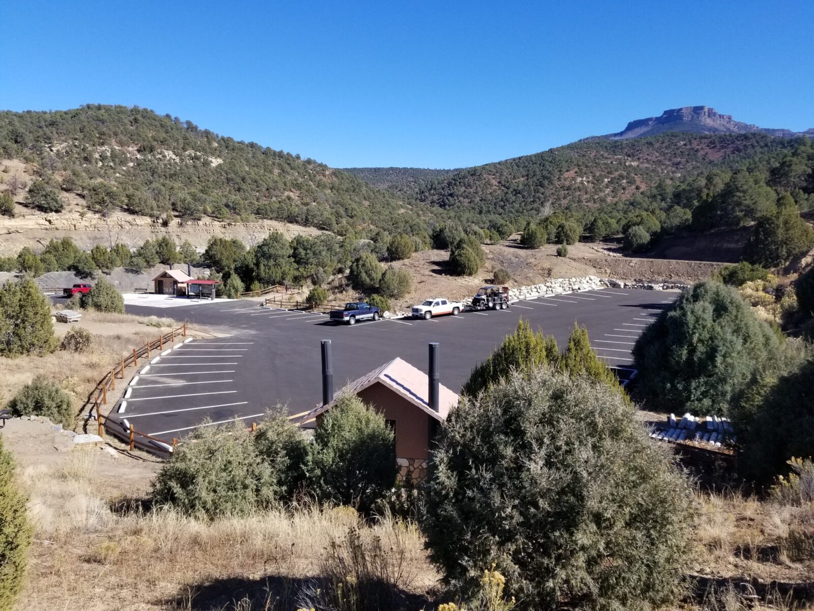
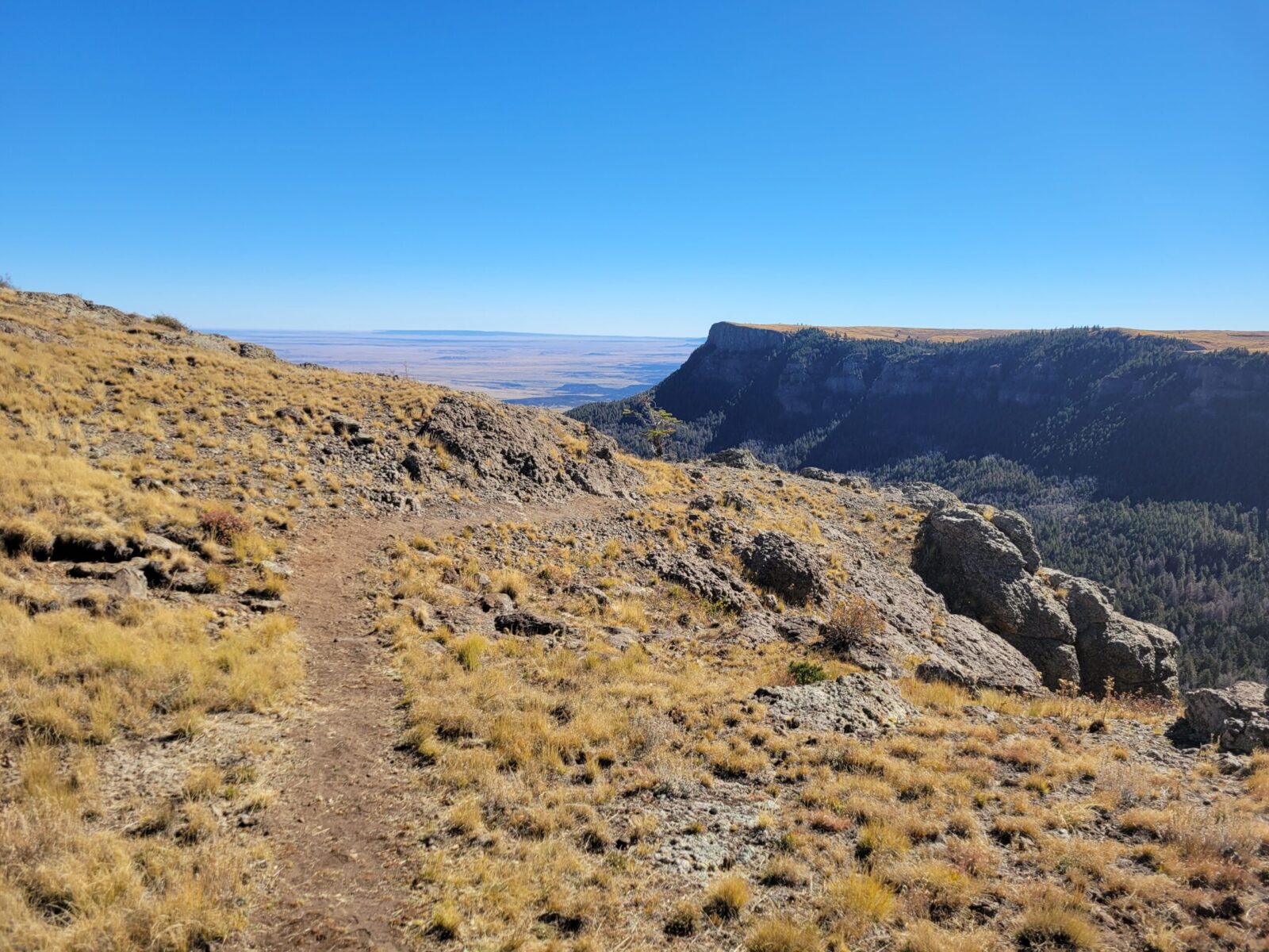
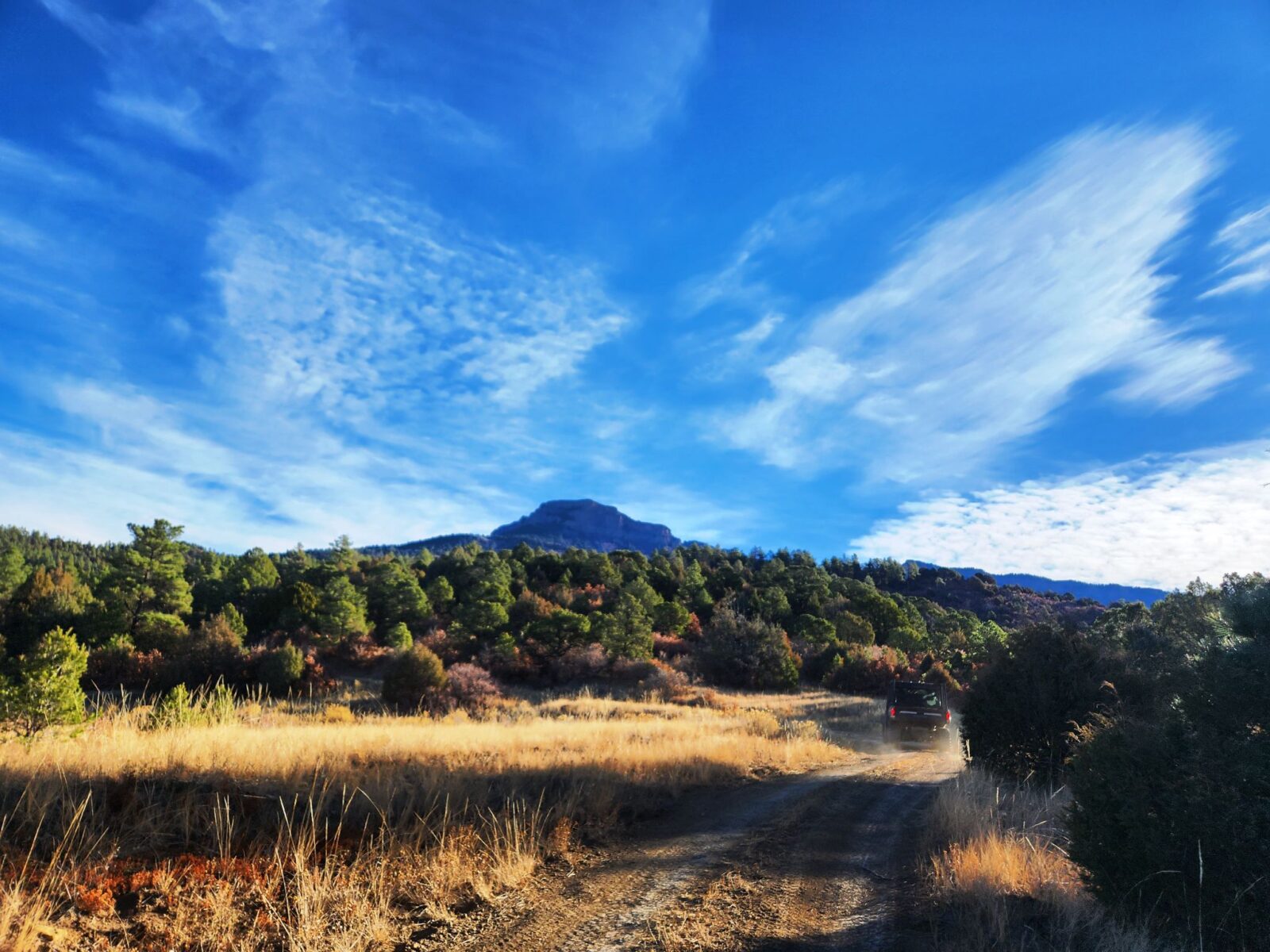
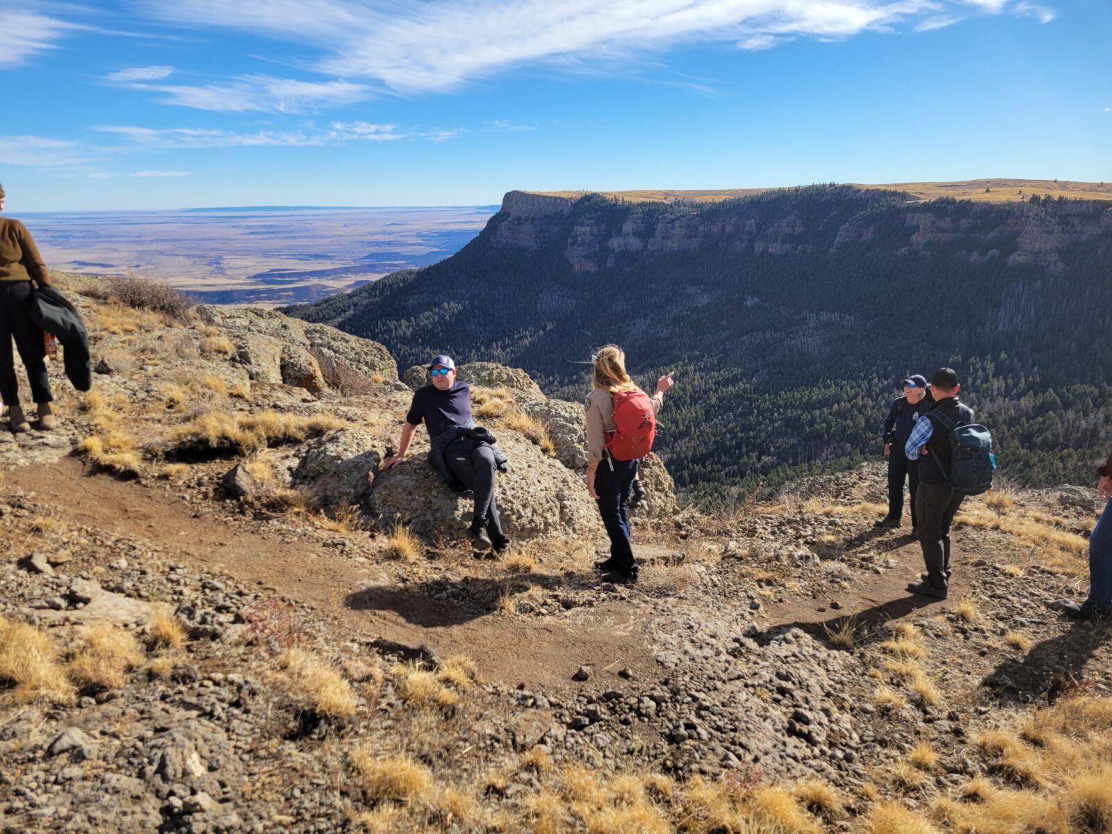
The Fishers Peak State Park Master Plan was finalized in the fall of 2020, marking a significant milestone. Subsequently, the THK Team designed an initial trailhead and unveiled twelve miles of trails in conjunction with the completion of the Master Plan. In 2023, an additional six miles of trails were added. Currently, construction is underway for a one-mile trail leading to the summit of Fishers Peak. This ongoing work is part of the broader vision outlined in the Master Plan, which seeks to make Fishers Peak State Park a cherished destination for residents and visitors alike, while safeguarding its ecological integrity.
Client
Location
Services

Related Projects
Downtown Chesterfield Park
THK Associates is working with the Staenberg Group to create the Downtown Chesterfield Park at the heart of the redevelopment of the former Chesterfield Mall, located at the intersection of Clarkson Road and Interstate 64 in Chesterfield, Missouri. Our goal is to create a vibrant and authentic public place at the center of what is becoming the new Downtown Chesterfield. Surrounded by mixed-use high density residential and retail development we have worked with our client to achieve the vision of a place that offers a walkable, safe, and ecologically sustainable environment that gives priority to the pedestrian over the automobile.
McCain Open Space
STRATEGIC GOAL #1: CONSERVATION
Throughout the entire development of the McCain Open Space Master Plan our design team set out to balance public access to the space, with the health of the existing environment and ecology. Through our mapping of the existing Blue River floodplain and associated wetlands in addition to the existing wildlife habitat and sensitive ecological areas and our extensive public engagement process, it became apparent that there was a significant preference for minimizing hard surfaces, not constructing any built structures, and providing controlled access to the Blue River in a way that ensures the long-term success and survival of this valuable natural system.
STRATEGIC GOAL #2: RECREATION
The wetlands and wildlife habitat within McCain Open Space are the critical features of the site. Preserving and improving the breadth and quality of this ecosystem in addition to creating valuable recreation opportunities was the primary focus of this Master Plan. The Master Plan is able to achieve this by utilizing existing disturbance corridors whenever possible and ensuring that habitat and ecological impacts are minimized.
The hierarchical trail system developed throughout this planning process was designed to help reduce erosion and improve safety for all visitors and residents while providing a sustainable balance between the
health of the ecosystems and the demand for recreation by minimizing user conflict, and dispersing the users for whom it will serve across a series of trails and trail loops designed with the diverse skill levels and accessibility needs of those users in mind.
Aligning with the goal of conservation, the proposed higher-use loop trails are concentrated within the central core and along with the alignment of McCain Road to ensure that these more heavily used trails will be in close proximity to other areas that already have high levels of existing human disturbance, thus allowing the creation of proposed feature areas in places that minimize the impact on the more sensitive parts of the ecosystem, such as the riverbanks.
Within the open space there are nearly twenty unique ecosystems, comprised of indigenous plant communities, and wetland features from grasslands, to meadows, to riparian corridors. The final design of the open space offers an opportunity for users of the space to experience the beauty of these ecosystems, while respecting the sensitive nature of these natural areas.
STRATEGIC GOAL #3: ACCESS AND INCLUSION
Removing all barriers to access is key for conservation and recreation efforts and improvements being fully realized and reaching their greatest potential. As an Open Space operated by the Town of Breckenridge,
it was paramount that any development of McCain catered to the diverse demographics of the Town while also incorporating the desires of tourists who fuel the Town’s economy.
Consequently, our plan minimizes barriers to access in multiple regards: physically, by facilitating traversal through the open space through the planned ADA-compliant trails, loops, and river access points; and educationally or informatively, through the proposed suggestions for on-site signage and the publication of materials on-site and online in a variety of methods and languages.
STRATEGIC GOAL #4: STEWARDSHIP
All proposed trails were designed to minimize environmental impacts and ongoing maintenance requirements, which was achieved in part by ensuring trail corridors remained out of the floodplain whenever possible, and stayed clear of sensitive parts of the Blue River susceptible to erosion such as the cut banks.
Another important component of this Master Plan is to understand and plan for potential wildfire re hazards and the impact to neighbors of the open space, by monitoring the overall health of on-site vegetation through continuing study and inventory of ecosystem health, and identification of invasive and noxious weeds today and long into the future through the utilization of a site specific c stewardship program that can evolve with the Open Space over time.
All restoration and enhancement efforts took into consideration the historical context and resources in the area, to protect, maintain, and enhance ecological values and services. ERO Resources recommendations regarding targeted conditions, standards, and goals that are specific to each ecological habitat type and innovative design techniques for rainwater capture and stormwater management shall be integrated during future design phases to further support a sustainable and regenerative ecosystem model for open space.
Badger Gulch Park at Ridgegate
ClientLocationServicesGalleryRelated Projects