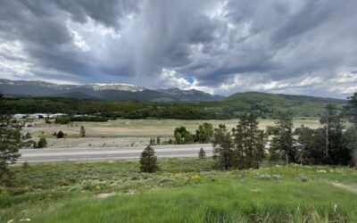
Aylor Open Lands Master Plan
Purchased by the city of Thornton in 2003, Aylor Open Lands is an approximately 140-acre undeveloped property located at 136th Ave and Quebec St. The property was owned by the Aylor family since the early 1930’s. The Aylors used the land for a variety of farming purposes over the years, providing the open space with a rich background in agriculture. When the City purchased the property from William Aylor, the water rights and lease agreements were all transferred into the City’s name. With its unique site features and history, the City understood the opportunities the site possessed for natural resource preservation and public use and enjoyment.
To realize the full potential of the property, the city of Thornton partnered with Anythink Libraries in a shared venture to develop a new library/education center that could provide City residents additional education and recreation programming while preserving the natural open space. The City hired THK Associates, a local planning and landscape architecture firm with a background in balancing preservation and recreation, as a consultant to develop a Master Plan for Aylor Open Lands. Together the Design Team developed a vision and goals that would drive the development of the Master Plan.
Given Aylor Open Land’s proximity to a handful of privately owned parcels in unincorporated Adams County and two adjacent Thornton residential neighborhoods, the city of Thornton wanted to ensure that public engagement in the project started early and continued throughout the Master Plan process. The City also wanted to make sure that all of Thornton’s residents and surrounding community had an opportunity to be involved in the project since there was the possibility of a new education center.
The Master Plan provides the structure for Aylor Open Lands to become a regional and local destination for the City of Thornton and its community members to enjoy. While the recommendations provide the City a guide to develop the site, the partnership with Anythink Libraries provides the opportunity for robust educational and recreational programming that can be managed effectively and provide a unique experience for visitors of Aylor Open Lands.
Client
Location
Services

Related Projects
Downtown Chesterfield Park
THK Associates is working with the Staenberg Group to create the Downtown Chesterfield Park at the heart of the redevelopment of the former Chesterfield Mall, located at the intersection of Clarkson Road and Interstate 64 in Chesterfield, Missouri. Our goal is to create a vibrant and authentic public place at the center of what is becoming the new Downtown Chesterfield. Surrounded by mixed-use high density residential and retail development we have worked with our client to achieve the vision of a place that offers a walkable, safe, and ecologically sustainable environment that gives priority to the pedestrian over the automobile.
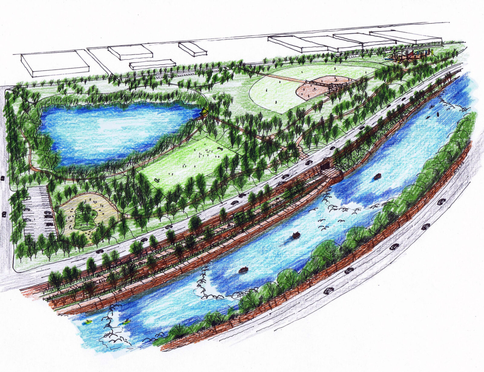
McCain Open Space
STRATEGIC GOAL #1: CONSERVATION
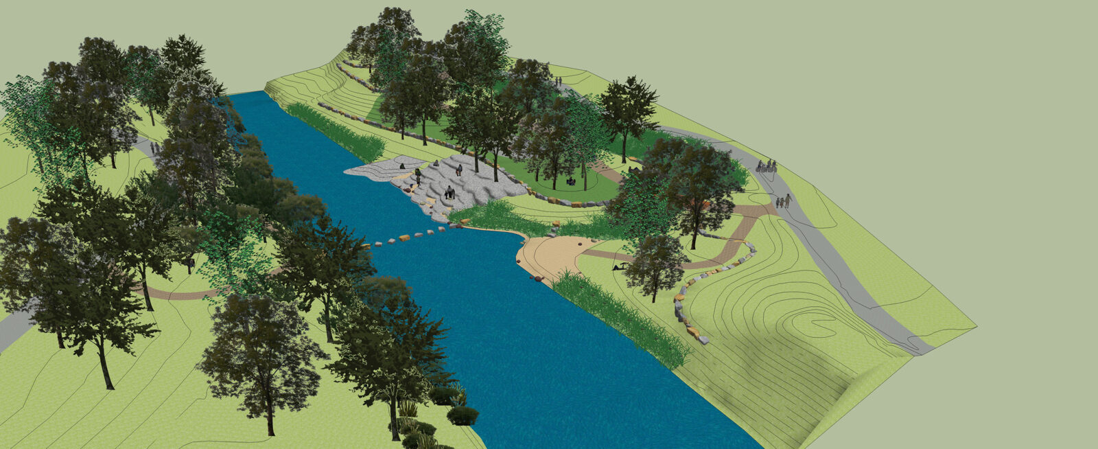
Throughout the entire development of the McCain Open Space Master Plan our design team set out to balance public access to the space, with the health of the existing environment and ecology. Through our mapping of the existing Blue River floodplain and associated wetlands in addition to the existing wildlife habitat and sensitive ecological areas and our extensive public engagement process, it became apparent that there was a significant preference for minimizing hard surfaces, not constructing any built structures, and providing controlled access to the Blue River in a way that ensures the long-term success and survival of this valuable natural system.
STRATEGIC GOAL #2: RECREATION
The wetlands and wildlife habitat within McCain Open Space are the critical features of the site. Preserving and improving the breadth and quality of this ecosystem in addition to creating valuable recreation opportunities was the primary focus of this Master Plan. The Master Plan is able to achieve this by utilizing existing disturbance corridors whenever possible and ensuring that habitat and ecological impacts are minimized.
The hierarchical trail system developed throughout this planning process was designed to help reduce erosion and improve safety for all visitors and residents while providing a sustainable balance between the
health of the ecosystems and the demand for recreation by minimizing user conflict, and dispersing the users for whom it will serve across a series of trails and trail loops designed with the diverse skill levels and accessibility needs of those users in mind.
Aligning with the goal of conservation, the proposed higher-use loop trails are concentrated within the central core and along with the alignment of McCain Road to ensure that these more heavily used trails will be in close proximity to other areas that already have high levels of existing human disturbance, thus allowing the creation of proposed feature areas in places that minimize the impact on the more sensitive parts of the ecosystem, such as the riverbanks.
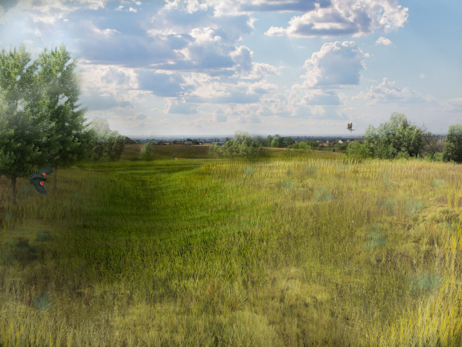
Within the open space there are nearly twenty unique ecosystems, comprised of indigenous plant communities, and wetland features from grasslands, to meadows, to riparian corridors. The final design of the open space offers an opportunity for users of the space to experience the beauty of these ecosystems, while respecting the sensitive nature of these natural areas.
STRATEGIC GOAL #3: ACCESS AND INCLUSION
Removing all barriers to access is key for conservation and recreation efforts and improvements being fully realized and reaching their greatest potential. As an Open Space operated by the Town of Breckenridge,
it was paramount that any development of McCain catered to the diverse demographics of the Town while also incorporating the desires of tourists who fuel the Town’s economy.
Consequently, our plan minimizes barriers to access in multiple regards: physically, by facilitating traversal through the open space through the planned ADA-compliant trails, loops, and river access points; and educationally or informatively, through the proposed suggestions for on-site signage and the publication of materials on-site and online in a variety of methods and languages.
STRATEGIC GOAL #4: STEWARDSHIP
All proposed trails were designed to minimize environmental impacts and ongoing maintenance requirements, which was achieved in part by ensuring trail corridors remained out of the floodplain whenever possible, and stayed clear of sensitive parts of the Blue River susceptible to erosion such as the cut banks.
Another important component of this Master Plan is to understand and plan for potential wildfire re hazards and the impact to neighbors of the open space, by monitoring the overall health of on-site vegetation through continuing study and inventory of ecosystem health, and identification of invasive and noxious weeds today and long into the future through the utilization of a site specific c stewardship program that can evolve with the Open Space over time.
All restoration and enhancement efforts took into consideration the historical context and resources in the area, to protect, maintain, and enhance ecological values and services. ERO Resources recommendations regarding targeted conditions, standards, and goals that are specific to each ecological habitat type and innovative design techniques for rainwater capture and stormwater management shall be integrated during future design phases to further support a sustainable and regenerative ecosystem model for open space.
Badger Gulch Park at Ridgegate
ClientLocationServicesGalleryRelated Projects